Part VI · Ranging Out
Does Phone GPS Work Without Service?
Found by Phone, Found Without It
What digital navigation do you need?
A phone running a real mapping app with offline maps downloaded covers navigation for nearly every camper; a satellite messenger adds two-way emergency contact for anyone who goes remote, solo, or often. That two-item stack, layered over Chapter 40's paper and Chapter 41's needle, is the complete modern system: convenience from the electronics, a floor that never fails from the analog.
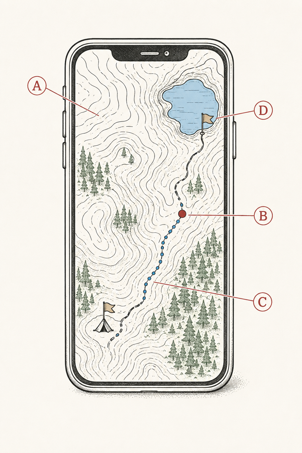
First, the fact this chapter exists to install, because more campers get this wrong than any other tech point: your phone's GPS works without cell service. The GPS chip listens to satellites directly and computes your position anywhere on Earth with a sky view; what dies without cell towers is the map imagery the blue dot sits on, which is exactly what downloading offline maps fixes. A phone in airplane mode, offline maps aboard, is a full-strength GPS unit with a better screen than anything the dedicated-device era sold.
That fact reframes the whole subject: the question was never "phone or GPS," it's "is the map on the phone before the trailhead," and the workflow section below makes that a two-minute habit.
Choosing an app: the criteria that matter
Judge mapping apps on five capabilities: offline map layers (topo and satellite, downloadable by area), track recording (the breadcrumb trail of where you've been, the single best anti-lost feature ever shipped), route building (draw or import a route, with honest distance and elevation math per Chapter 40), layer variety (public-land boundaries for Chapter 5, slope shading, recent imagery), and battery-sane operation. The major hiking apps (Gaia GPS, onX Backcountry, CalTopo, AllTrails and their kin) all clear the bar at their paid tiers; free tiers usually withhold exactly the offline capability that matters.
Honest tier guidance: casual campground-and-day-hike users do fine with one mainstream app's paid year; planners and dispersed campers (Chapters 3 and 5) benefit from CalTopo-class layer control; nobody needs two subscriptions until a specific gap says so. The choice matters less than the habit: whichever app, learn its download, record, and waypoint functions at home, in the yard, exactly like the tent's first pitch.
The dedicated handheld GPS deserves its modern footnote: still legitimate for gloved winter use, expedition battery swapping, and preference, and no longer necessary for anyone else. The phone won on screen, data, and the fact that it's already in your pocket.
The offline workflow
The pre-trip ritual, two minutes on home Wi-Fi: open the app, select the trip's area generously (the whole quad's worth, including the drive's last miles, because Chapter 28's dirt roads are where navigation questions actually start), download the topo layer (satellite too if space allows), confirm the download opens in airplane mode, and drop waypoints for the campsite, trailhead, and any water sources the plan depends on (Chapter 17's source map, digitized).
At the trip: phone into airplane mode at signal's edge (Chapter 38's battery doctrine, now doing double duty), the app's track recorder started at the trailhead, and position checks as needed all weekend at essentially no battery cost (GPS sips; the screen and cell radio are what gulp). The blue dot on your downloaded topo, plus the breadcrumb track behind it, converts every "which fork was it" into a ten-second glance.
The recorded track is the feature to evangelize: it's your exact path, reversible step for step (the walk-back-out button when anything goes sideways), it's tomorrow's beta and your friend's route file, and it's the answer to Chapter 50's hardest scenario, retracing to the last known point. Recording costs almost nothing. Record every hike.
Phone limits: the four failure modes
The phone's navigation failure modes are known and each has a countermeasure: battery (airplane mode, the Chapter 38 bank, brightness down, and the paper map that needs no charge), cold (lithium sags near freezing; the phone lives in an inside pocket and sleeps in the bag's footbox, per Chapter 36's electronics annex), water and drops (a $15 waterproof pouch or case, and the phone's tether habit at crossings and viewpoints), and glass (screens break; the button compass and paper ride along, indifferent).
None of these is a reason to distrust the phone; together they're the reason the phone is a layer instead of the system. The failure-independence doctrine from Chapter 12, restated for the digital age: carry tools that fail differently. Phone plus paper plus needle fails all-at-once approximately never, and the camper carrying all three (total added weight: a few ounces) has upgraded "lost" from emergency to inconvenience.
The habit that operationalizes it: at the trailhead, one glance at the paper map to frame the day (the drainage, the handrails, the shape of the route), so the phone is confirming a picture you already hold rather than being the picture. Navigators who frame first survive their phone's bad day without noticing it much.
Satellite messengers: the two-way lifeline
A satellite messenger (the inReach class of device) sends and receives text messages via satellite anywhere with sky view: SOS to a 24/7 emergency coordination center with two-way dialogue, check-ins to family ("at camp, all well"), and real conversation when plans change ("staying an extra night, don't worry"). Subscription plans run monthly or seasonal; the device weighs a few ounces and holds charge for days to weeks.
The two-way part is the killer feature, in both directions. Outbound, rescuers who can ask "what's the injury, how many in your party, can you move?" launch the right response instead of the maximum one; inbound, the family that receives "we're fine, just slow" doesn't call in the helicopter that the un-updated worry clock was about to summon. Chapter 39's trip-plan discipline plus a messenger's check-in schedule is the complete accountability system: the plan says when to worry; the check-ins keep resetting the clock.
Who should carry one: solo travelers (non-negotiable, in this book's opinion), anyone camping or hiking beyond same-day walkout range, groups with medical conditions aboard, dispersed campers in dead zones (most of them, per Chapter 3), and honestly any household whose designated worrier would sleep better. That's a wide net, drawn on purpose; the price of the device plus a seasonal plan has dropped into gear-budget range, and it buys the single largest safety upgrade since the whistle.
PLBs and phone satellite SOS: the other two options
The PLB (personal locator beacon) is the messenger's older, starker sibling: one button, one message (SOS plus position, broadcast on the international rescue frequency to government satellites), no subscription ever, no check-ins, no two-way, batteries that last years dormant. It's the right tool for the buy-once-and-forget camper and the maritime-and-aviation crowd, and the wrong tool for anyone whose real need is "tell my family I'm late," which is most people, most trips.
Phone satellite SOS changed the market: many current phones can text emergency services (and increasingly, anyone) via satellite with no extra device, sky view permitting. It's a genuine safety layer and a real reason casual campers can defer the dedicated device, with the honest caveats: it shares the phone's battery, cold, and breakage failure modes (the layers doctrine again), and dedicated messengers still win on battery life, glove-friendly hardware, routine check-ins, and working when the phone is the casualty.
The decision table: casual campground trips, phone SOS suffices. Regular remote trips or solo anything, dedicated messenger. Set-and-forget emergencies only, PLB. All three assume the sky: satellite anything wants open view, and slot canyons and dense old-growth make everything slower.
The layered system, assembled
The complete navigation stack, by layer and failure mode: paper map + compass (fails never, skills required), phone + offline maps + recorded track (fails by battery, cold, water, glass; brilliant otherwise), satellite messenger or phone SOS (fails by sky view; the only layer that summons help). The layers check each other: phone confirms the paper's framing, paper backstops the phone's battery, the messenger sits quietly until the day it's the whole story.
The system's operating habits, gathered from three chapters into one list: frame the day on paper at the trailhead, airplane mode at signal's edge, track recorder on, waypoint the camp, bearings taken when easy (Chapter 41), map contact maintained at junctions (Chapter 40), check-ins on the messenger's schedule, and everything charged and downloaded before the driveway. Total daily overhead: minutes. Total system weight: under a pound including the phone you were carrying anyway.
The spending order for a household building this from nothing: paper and compass first (cheap, permanent), the app subscription second (transforms every trip immediately), the messenger third (transforms the remote and solo trips). Chapter 50 will assume all three layers when it teaches what to do when navigation fails anyway, which, with this stack, it mostly won't.
Trailhead Takeaways
- Phone GPS works without cell service. Download offline maps at home and the phone is a full navigation unit in airplane mode.
- Judge apps on offline layers, track recording, and route math; pay for one, learn it in the yard.
- Record every hike. The breadcrumb track is the walk-back-out button and the answer to most lost-person scenarios.
- Phone failure modes are battery, cold, water, glass: counter each, then backstop all four with paper and needle.
- Satellite messengers give two-way dialogue: right-sized rescues outbound, reset worry clocks inbound. Solo campers: non-negotiable.
- PLB for buy-once SOS-only; phone satellite SOS as the casual layer; the messenger for everyone in between.
- SOS is for life safety. Two-way texting handles late, tired, and lost-but-fine.
- Build in order: paper + compass, then the app, then the messenger.
Where Trips Go Sideways
- "There's no service, so GPS is useless." The most expensive misconception in modern camping: the party navigated by memory while a full-strength GPS receiver slept in a pocket, mapless because the download never happened. Two minutes on home Wi-Fi was the entire fix.
- The 8% battery navigator. Screen at full brightness, cell radio hunting all day, and the map died at the junction that mattered. Airplane mode, downloaded maps, and the bank in the pack: the same phone runs the whole weekend at 60%.
- The un-recorded epic. Fog erased the plateau's landmarks and the party's memory of its wandering route in one move. The track recorder, running, is a dotted line home; off, it's a feature they'd meant to try.
- The messenger left home. "It's a familiar trail" met a slipped disc at mile six, and the afternoon became a relay of runners instead of a twenty-minute text dialogue. The device weighs less than the sandwich. Familiarity was never the variable.
- SOS as customer service. Tired, blistered, and three hours from the car, someone pressed the button that launches helicopters. The two-way thread sorted it into a ride and a lecture, which is the system working; the habit it corrects is treating the red button as the first resort instead of the last layer.
Frequently asked
Does phone GPS work without cell service?
Yes, fully: the GPS chip reads satellites directly and doesn't use cell towers at all. What you lose offline is the background map, which downloading offline maps before the trip restores. A phone in airplane mode with maps aboard navigates all weekend on a fraction of its battery.
What is the best GPS app for hiking?
The one whose paid tier you'll actually learn: Gaia GPS, onX Backcountry, CalTopo, and AllTrails all deliver the criteria that matter (offline topo and satellite layers, track recording, route building with honest elevation math). Pick by interface preference, pay for one, and practice the download-record-waypoint trio at home, in the yard, exactly the way the tent got its first pitch.
Should I get a satellite messenger or a PLB?
Messenger for almost everyone: two-way texting lets rescuers size the response and lets family stop worrying, and check-ins cover the ordinary trips between emergencies. PLB for the buy-once, subscription-free, SOS-only case. Modern phones' satellite SOS is a real third layer for casual trips, sharing the phone's failure modes.
Do I really need a satellite messenger for camping?
For campground weekends with cell coverage: no, though the check-in habit is nice. For solo trips, dispersed camping in dead zones, remote trailheads, or any group carrying a medical condition: this book says yes without hedging. It's the largest single safety upgrade available per ounce and per dollar.